Mapa de Carreteras y Ferrocarriles - Map of Highways and Railroads
September 1, 2021
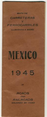
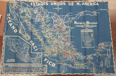
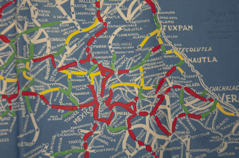
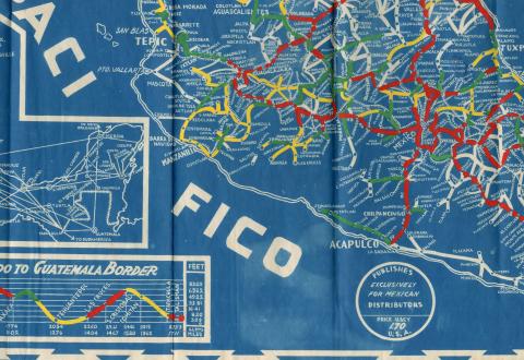
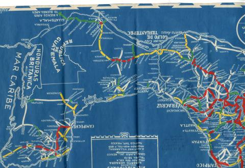
This month’s Artifact of the Month is a Mexican road and railway map made in 1945. The Mapa de Carreteras y Ferrocarriles (Map of Highways and Railroads) is a tall, brown folded booklet with black text on the cover that unfolds into a blue map. The cover and the map itself are in Spanish with English translations. While road and town names are printed in white, the color coding of roads was done by hand, so the brushstrokes of red, yellow, green, and white paint are visible. The map was published for Mexican distribution, but there are handwritten English annotations with the locations of “Papermaking Villages” near Tuxpan and “Bark Cloth” in the state of Veracruz. These markings both refer to the amate paper of Mexico.
Those villages in the Veracruz region carry on the tradition of the amate bark paper that has existed for over a millennium in what is now Mexico. Amate is made from the inner bark of trees in the fig (ficus) family. The process dates to at least 300 AD and includes harvesting, drying, and soaking and boiling the bark. At that point, it is ready to be macerated and laid out in sheets to dry. Despite the banning of amate production by the Spanish conquistadors for its religious and economic value, the bark paper remains an important part of Mexican culture. The annotations pertaining to it on this map are evidence of the influence of amate in the global academic community of paper. The museum is furthering the study of its bark paper collection with a recent grant from the National Endowment for the Humanities to perform condition assessments and photograph the artifacts from the Americas and Pacific Islands.
Category: Tools
Region of Origin: American
Keywords:
Map